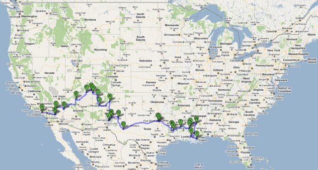
Here’s a static map of the distance we covered in the USA. Total miles: 3,057 (although Jackson-New Orleans was on a Greyhound bus). Clicking the map will take you to an interactive version; to see the route click ‘get directions’ on the left of the page.


Comments are closed.